Overview
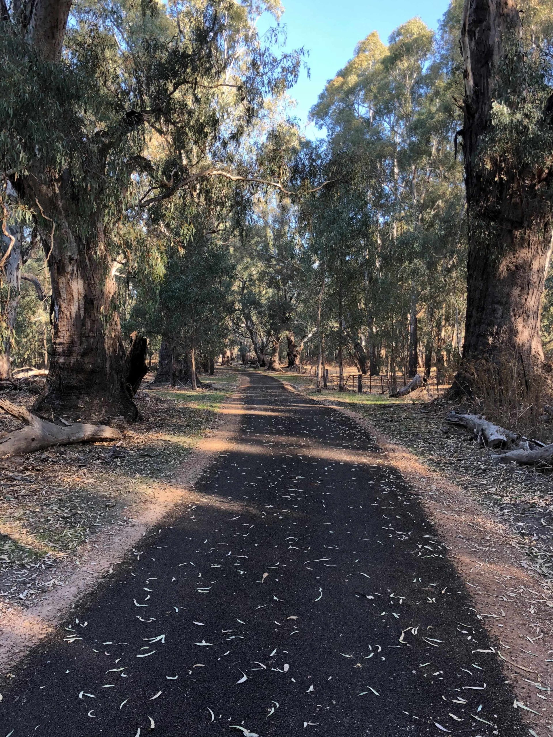
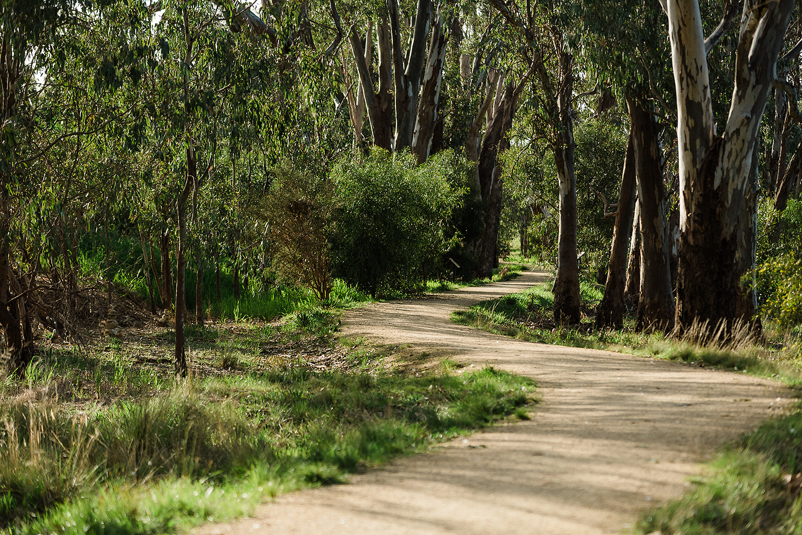
This trail will take you through the old River Red Gun trees beside the Murray River and passes by farming properties. Local Aboriginal artist Tommy McRae (c.1835– 1901) would wander this area and lived at Lake Moodemere for a number of years. At the end of Kilborn road is the Historic John Foord Pioneer Cemetery.
A plaque commemorates the centenary year of the burial of John Foord II (1819 - 1883). He was the pioneer of the Wahgunyah Run and the township developed on his property. Foord named his 30,000 acre property Wahgunyah which was said to be a Whroo, the local Indigenous people’s name for ‘big camp’.
Route Details
-
Short Walks
-
7 kms
-
1.5 Hour
-
Grade 2
-
Circuit Walk
-
Nature Walks
View Route on Map
Start
Walking
Start Walking: Wahgunyah Football Oval, Reserve Road Wahgunyah
1
Park the car at the Wahgunyah Football Oval car park. The Trail starts at the barriers on the Oval boundary. Head south and at the 200m point there is a pedestrian bridge on the left and a path to the right which leads to the netball courts. Follow the walk/cycle sign straight ahead.
Making Port
This easy 6km walk takes in the Murray River and its surrounding red-gum dotted plains, past vine-covered fields and the historic village of Wahgunyah, once a bustling paddle steamer port, now famous for its excellent wineries including All Saints, St Leonards, Pfeiffer’s and Cofield’s.
2
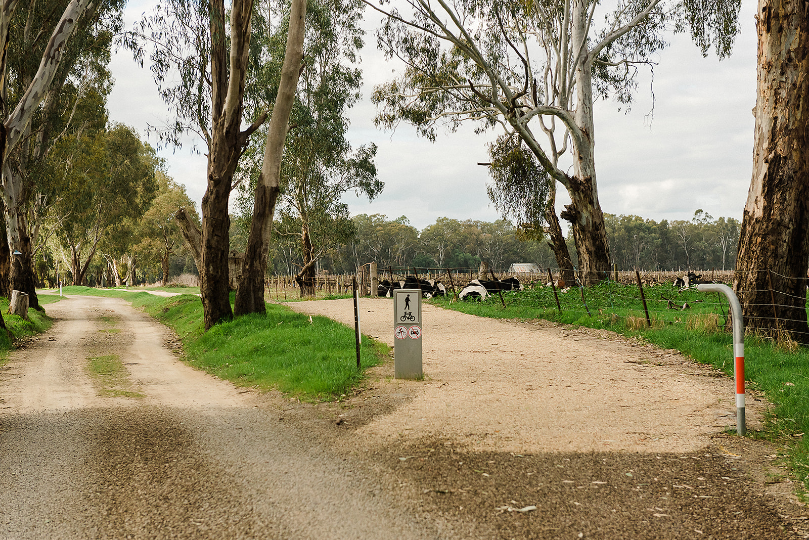
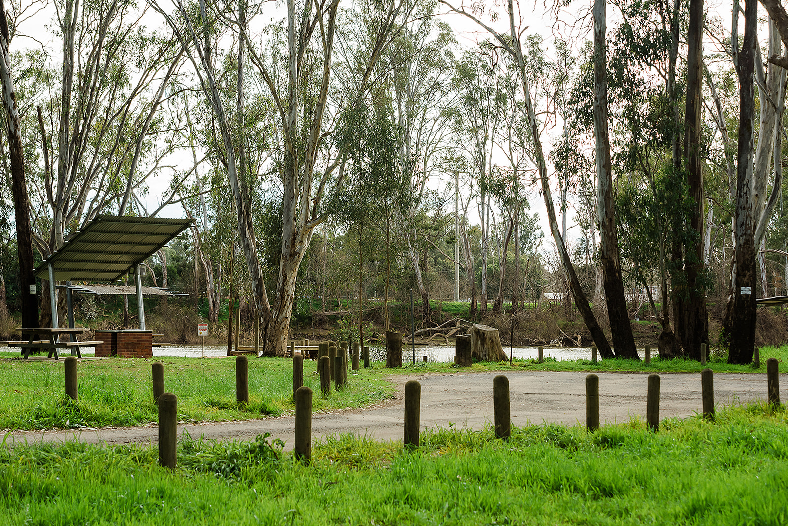
The Trail winds through the floodplain of the Murray River and majestic river red gums are a highlight of the landscape. There are seats for a rest or to take in the views at the 1.5 and 1.6km marks. Continue straight ahead at the white gate (1.9km mark) where there is a walk/cycle sign.
For 40,000 years this area’s abundant natural resources - its prolific populations of native mammals, birds, fish and reptiles as well as the trees and grasses of the fertile floodplains - provided food and shelter to indigenous peoples. A section of the Wahgunyah River Track includes a memorial to Tommy McRae, the renowned indigenous artist who lived and sketched in the Wahgunyah area. (Find out more about the life of Tommy McRae on the Lake Moodemere Trail.)
3
European settlement here began in the early 1840s when around 12,000ha around Wahgunyah (said to mean ‘big camp’) on the southern side of the river was selected for cattle grazing by pioneer, John Crisp, who later sold the land to John Foord. Foord’s name is synonymous with the development of the town. John Foord bridge on Foord Street today links Wahgunyah in Victoria to Corowa in NSW across the Murray.
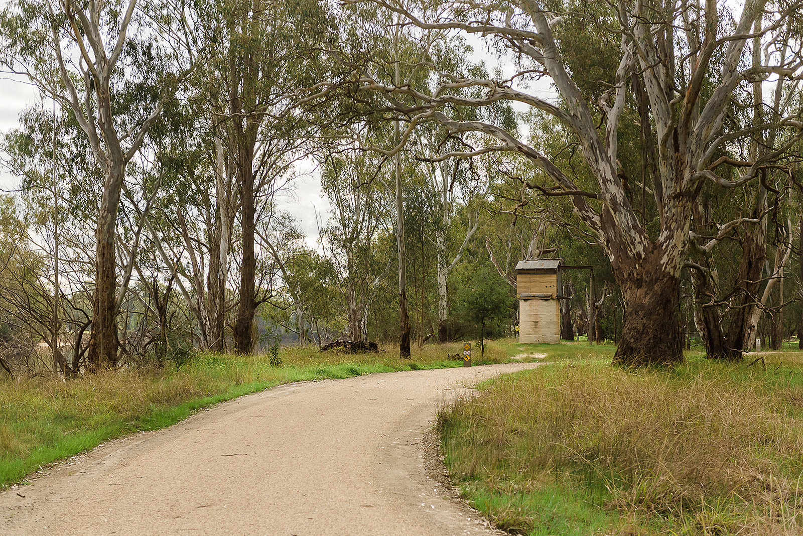
At the 2km mark veer left. There is an interpretive sign here. Nearby there is a seat, a great view of the river and a really interesting water tank with a hut on top! The Trail changes from bitumen to dirt here at the 2.1km mark, keep left and continue on. At the next T intersection (2.2km) turn left onto an unsealed road and continue.
4
The unsealed road veers to the left at the 2.8km mark, there are vineyards to the right. The next junction is ODonoghues Road (3.2km mark) – turn right here. In 300m turn left onto Distillery Road (3.5km mark). This is a sealed main road with regular traffic so use caution. Reaching Cofield Wines take a left turn onto Kilborn Road (4.3km mark).
Before the railway linked the capital in the south with the towns of the north, Wahgunyah thrived as a busy upstream steamer port on the river as waves of pastoralists and gold miners arrived seeking their fortune. A Customs House, today a National Trust property, was built near the bridge to collect excise duties on goods transported between Victoria and NSW before Federation in 1901.
5
At the 4.9km mark you will see the John Foord Pioneer Cemetery on the right. The road veers to the right at the 5.1km mark. There is a left hand turn at this point which crosses the creek but don’t take this one.
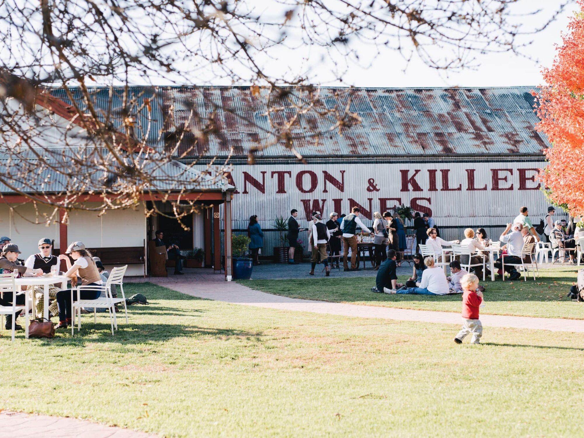
A great place to begin the walk - with a superb brunch (or finish with a fabulous alfresco lunch!) - is a new addition, Footsteps Cafe, smack in the middle of the vines of Cofield’s Winery. Walkers can also pick up gourmet hampers here for a shady picnic by the river.
6
At 5.4kms there is a pedestrian bridge on the left. If it looks familiar that is because you passed it on the start of the Trail. Take the bridge and turn right after exiting it. The finish point is a short stroll down the Trail.
End Walking: Back at your car
