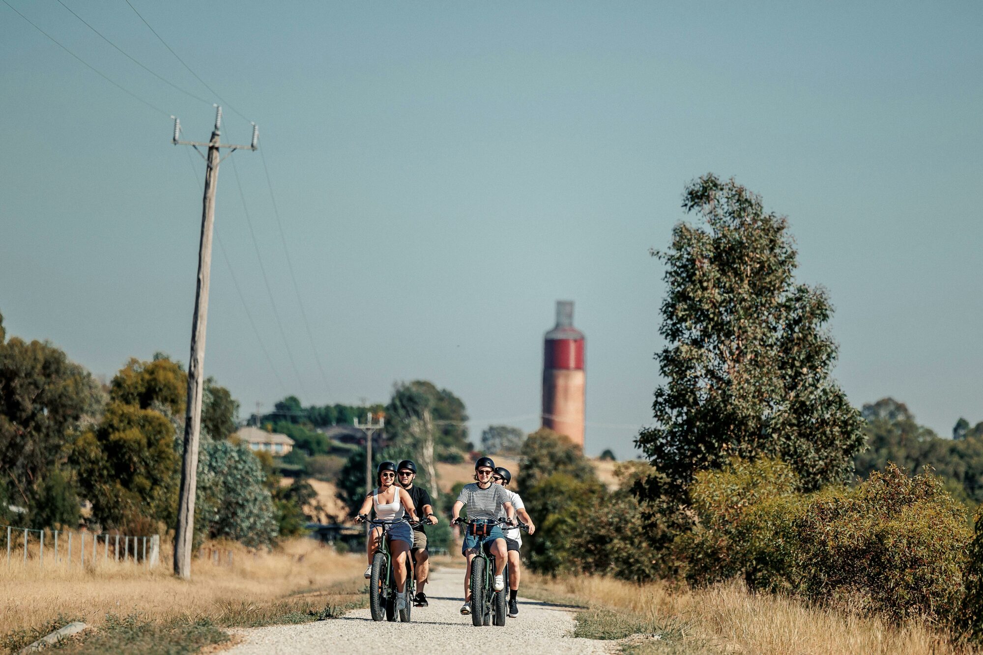
Wine Loop
Immerse yourself in Rutherglen's world-class wine region on this comprehensive 23km journey connecting multiple cellar doors and showcasing the area's stunning agricultural landscape.
The Wine Loop is defined by a rose red trail on the Rutherglen Loops map.
Quick Facts
· Distance: 23km
· Duration: 1.5-2 hours cycling, 5 hours walking
· Difficulty: Moderate
· Elevation: 148m
· Perfect for: Wine enthusiasts, leisure cyclists
· Trail type: Mixture of footpath, sealed and unsealed sections
Trail Experience
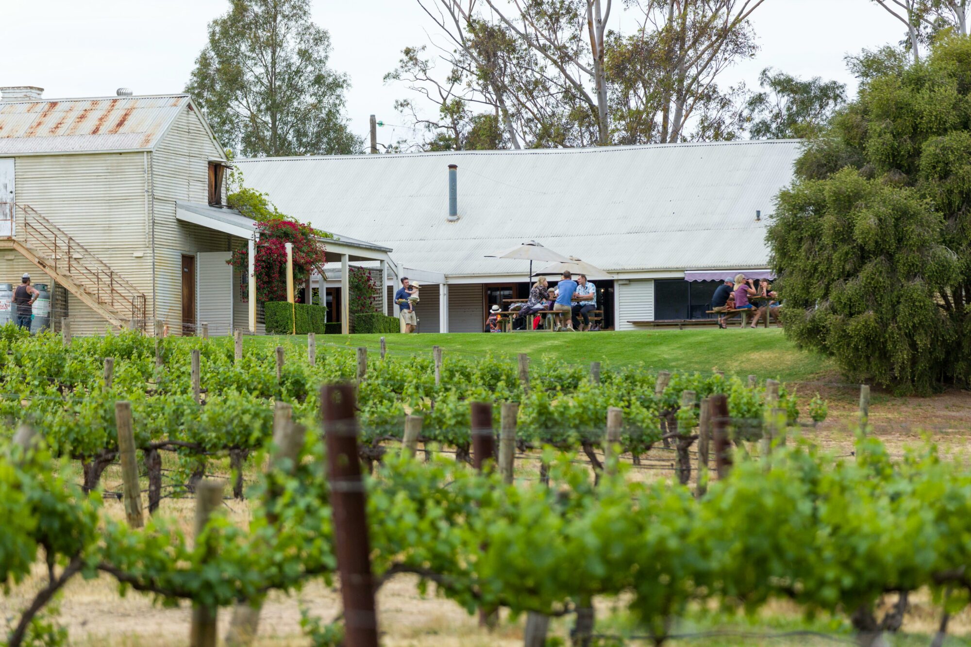
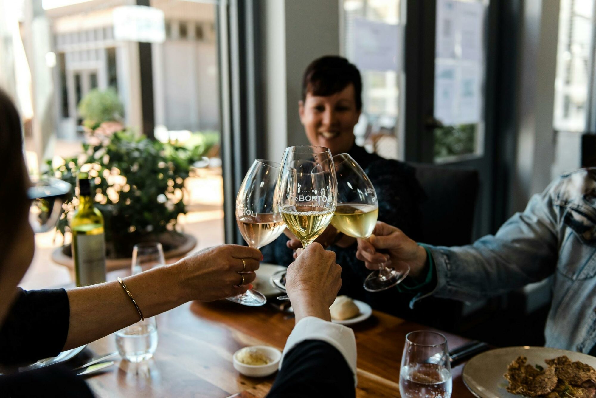
The Wine Loop represents the ultimate Rutherglen wine country adventure, combining exercise with exceptional wine tasting opportunities. This trail offers a perfect blend of scenic views, historic wineries, and modern cellar doors.
Route Highlights
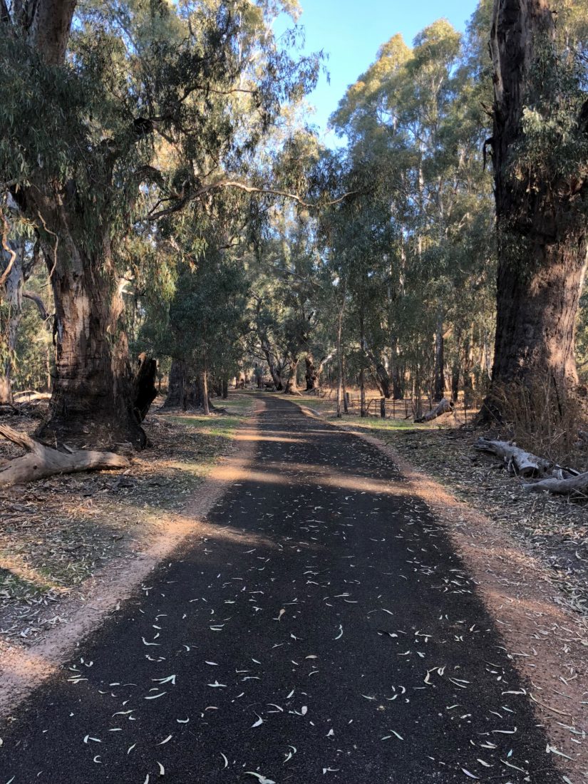
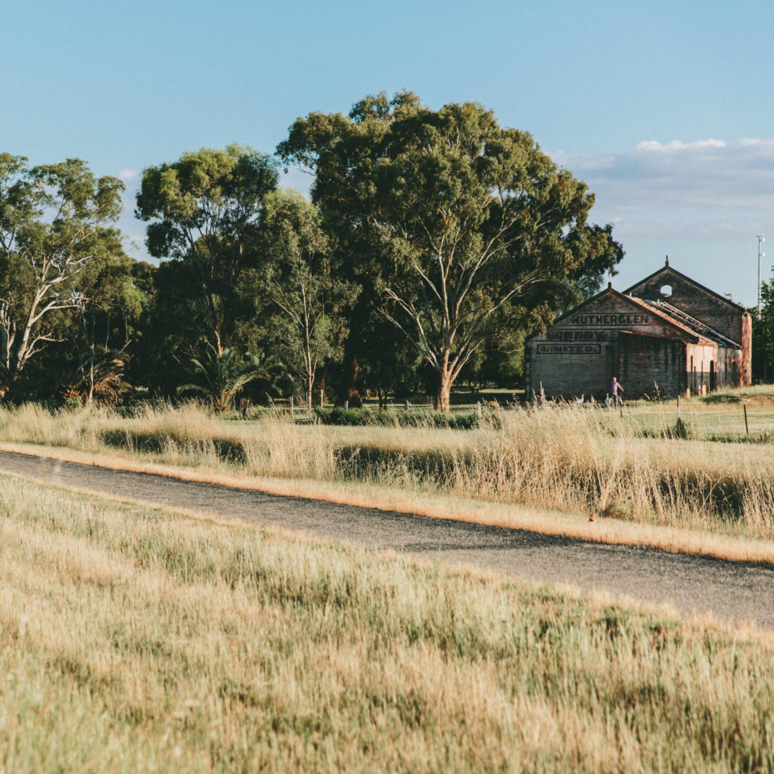
· Follow the historic Murray to Mountains Rail Trail to Wahgunyah
· Journey south to the serene Lake Moodemere
· Experience stunning vineyard vistas that transform with the seasons
· Discover pockets of rich native bushland
Planning Your Visit
The Wine Loop deserves a full day to truly appreciate its offerings. Consider these tips:
· Start early to allow time for multiple winery visits
· Pack water and snacks for between cellar doors
· Plan your winery visits in advance, as some require bookings
· Consider a designated driver or tour service if planning to taste wines
This trail is perfect for leisure cyclists seeking a more challenging route or wine enthusiasts wanting to explore Rutherglen's diverse wine scene in depth.


Where you can stop along the way
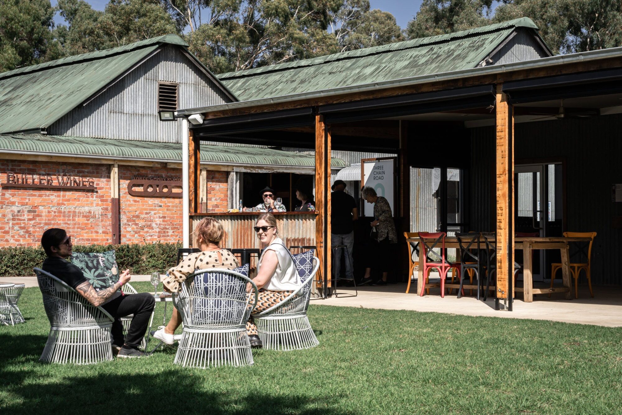
Buller Wines
Pfeiffer Wines
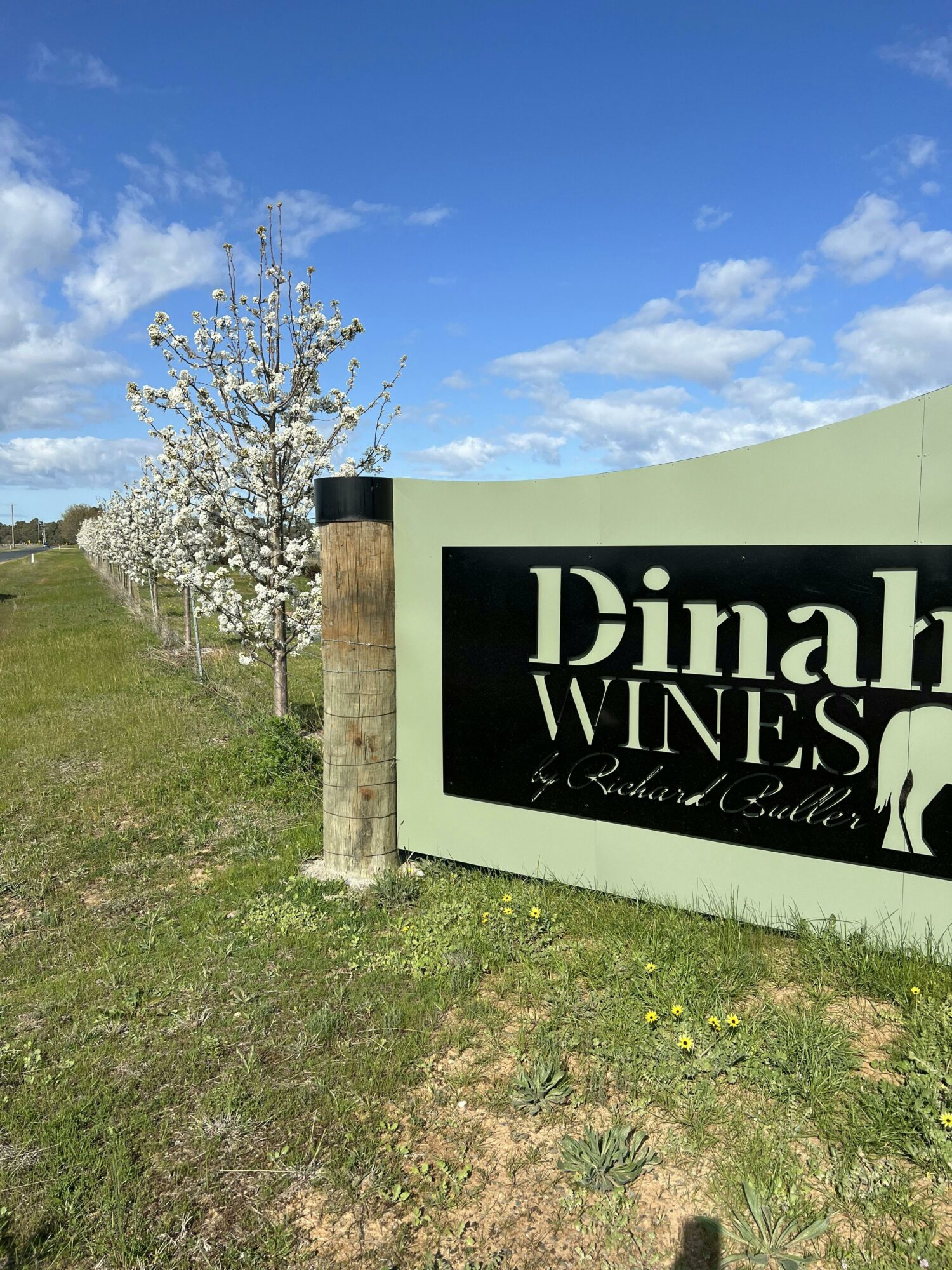
Dinah Wines
Campbells Wines of Rutherglen
Andrew Buller Wines
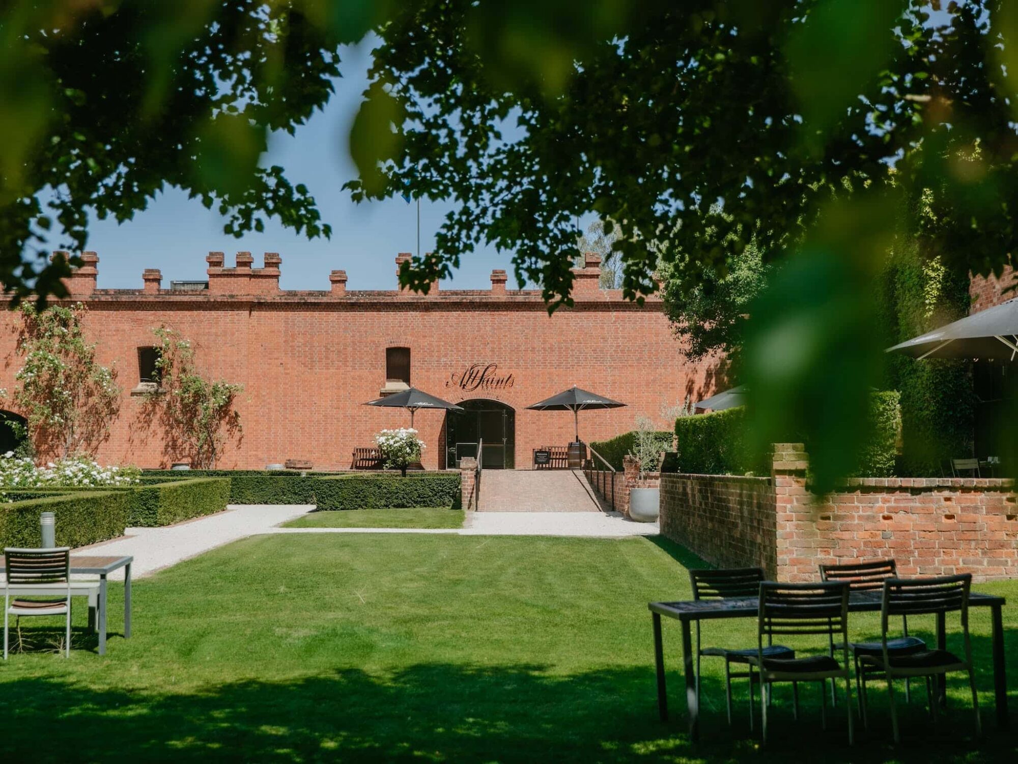
All Saints Estate
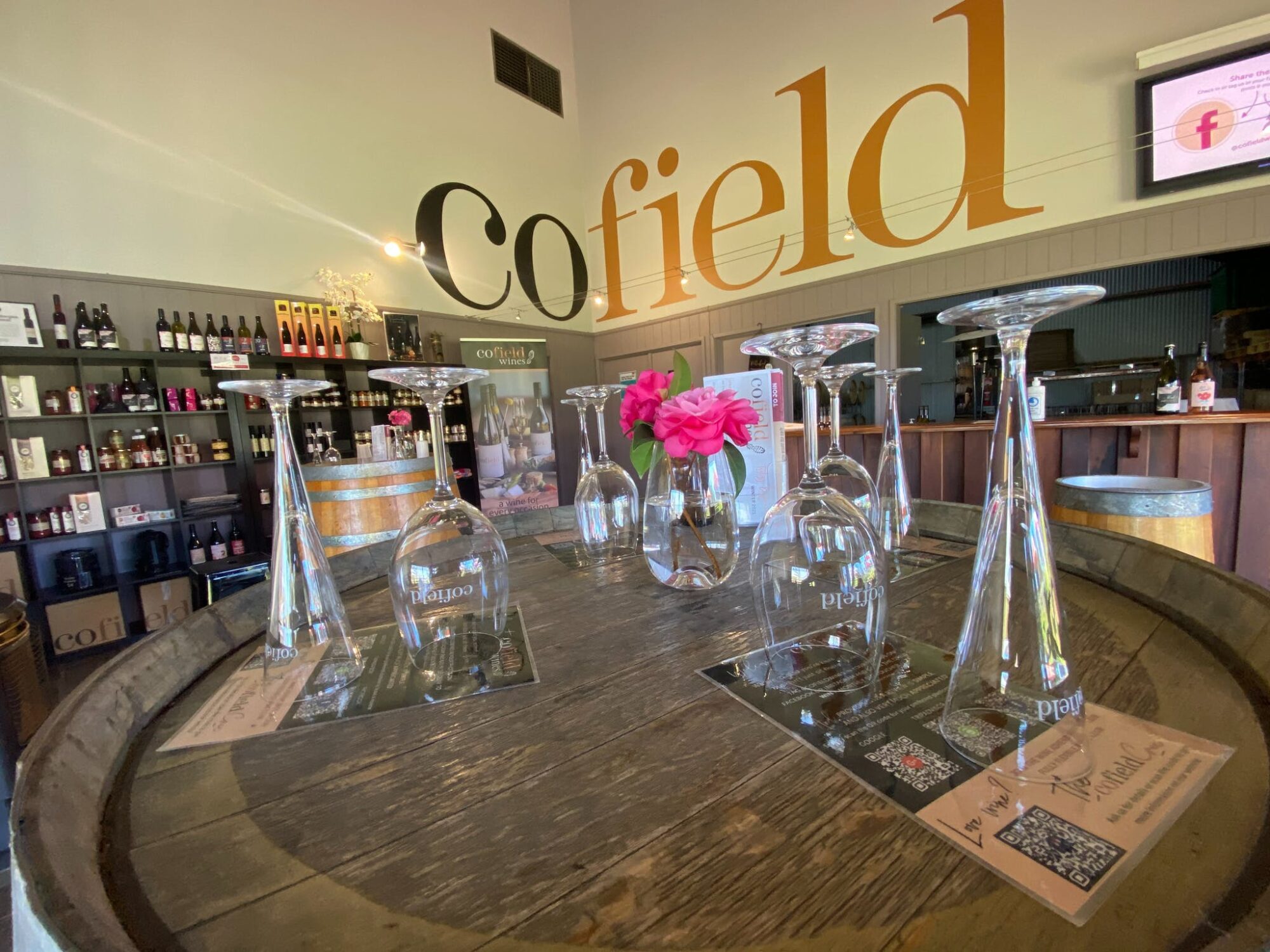
Cofield Wines
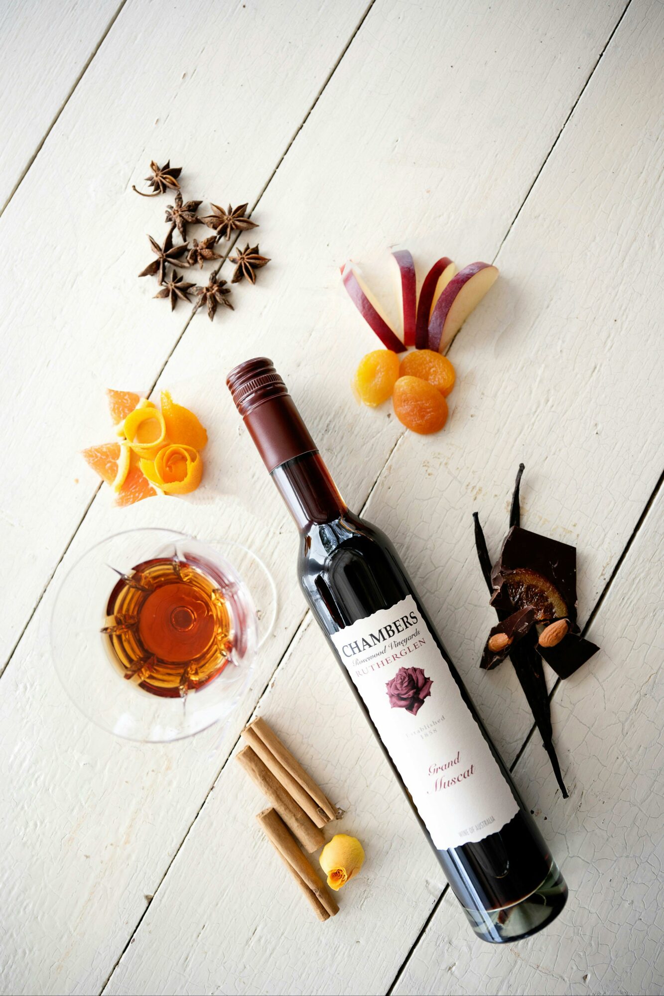
Chambers Rosewood Vineyards and Winery
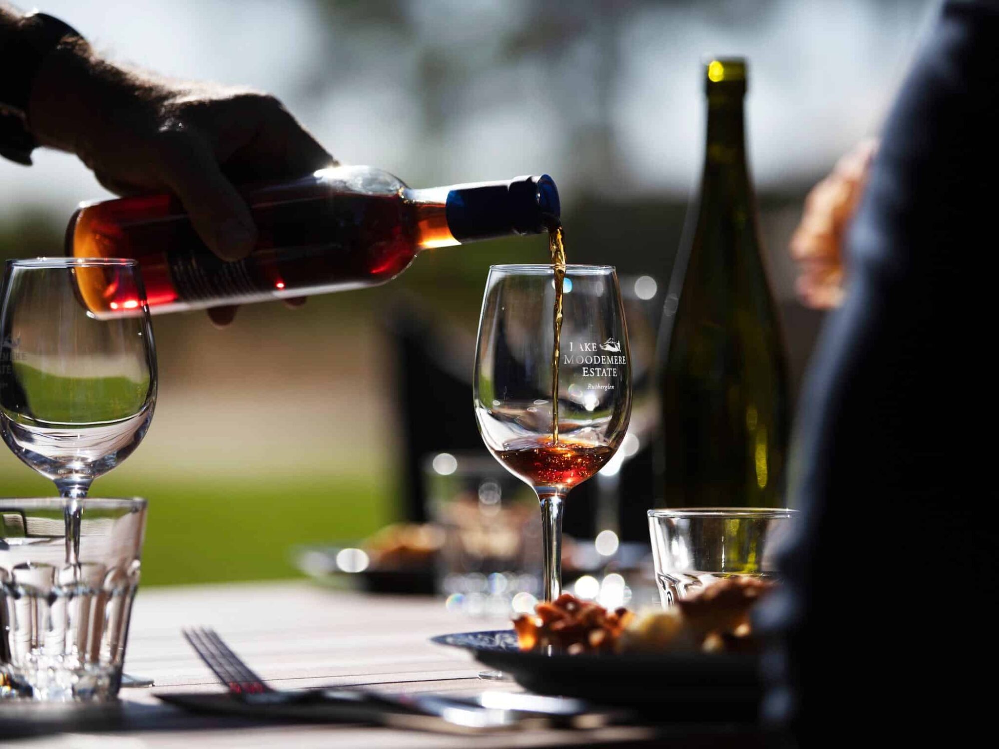
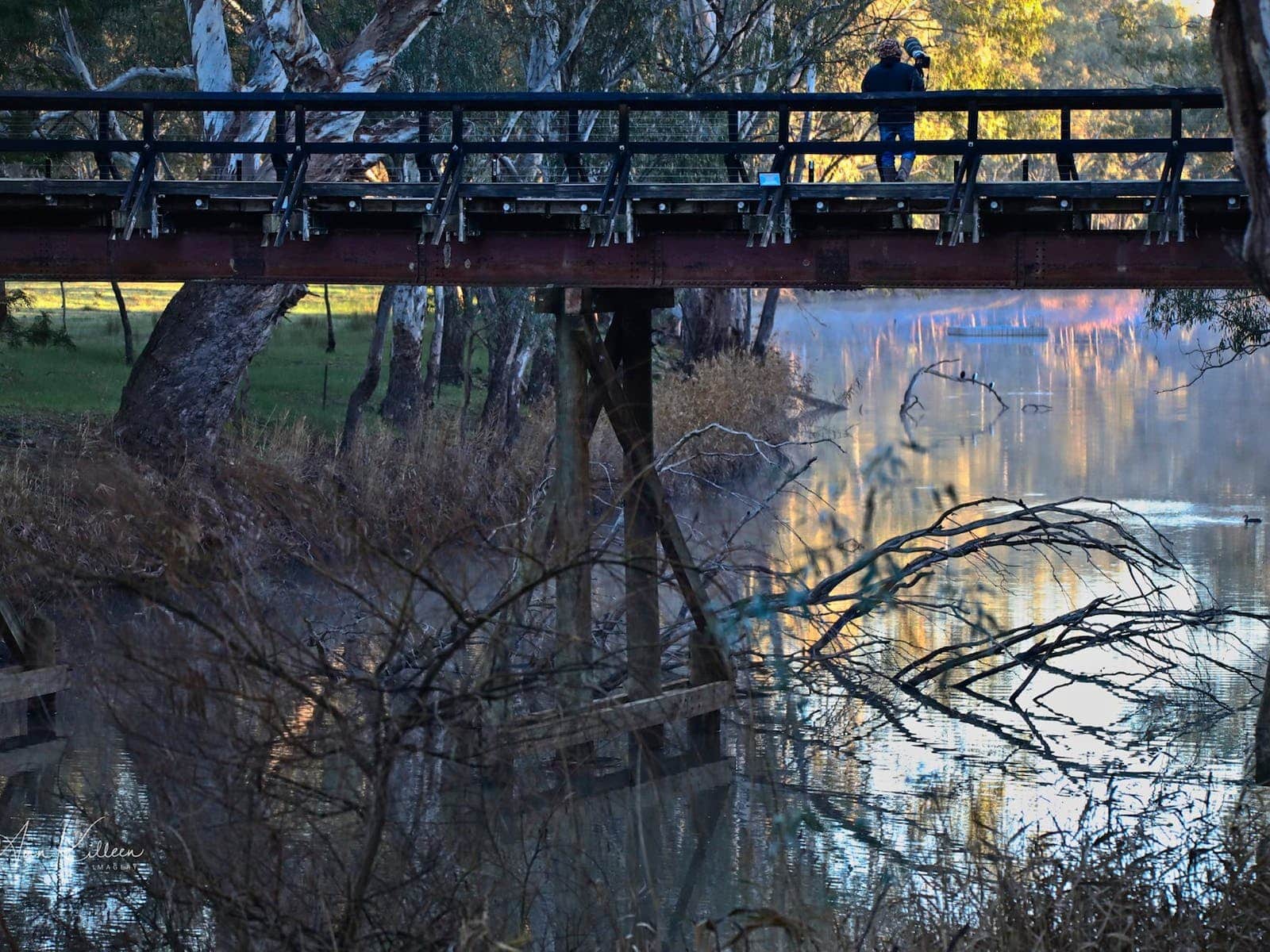
Lake Moodemere Estate and Lakeside Restaurant
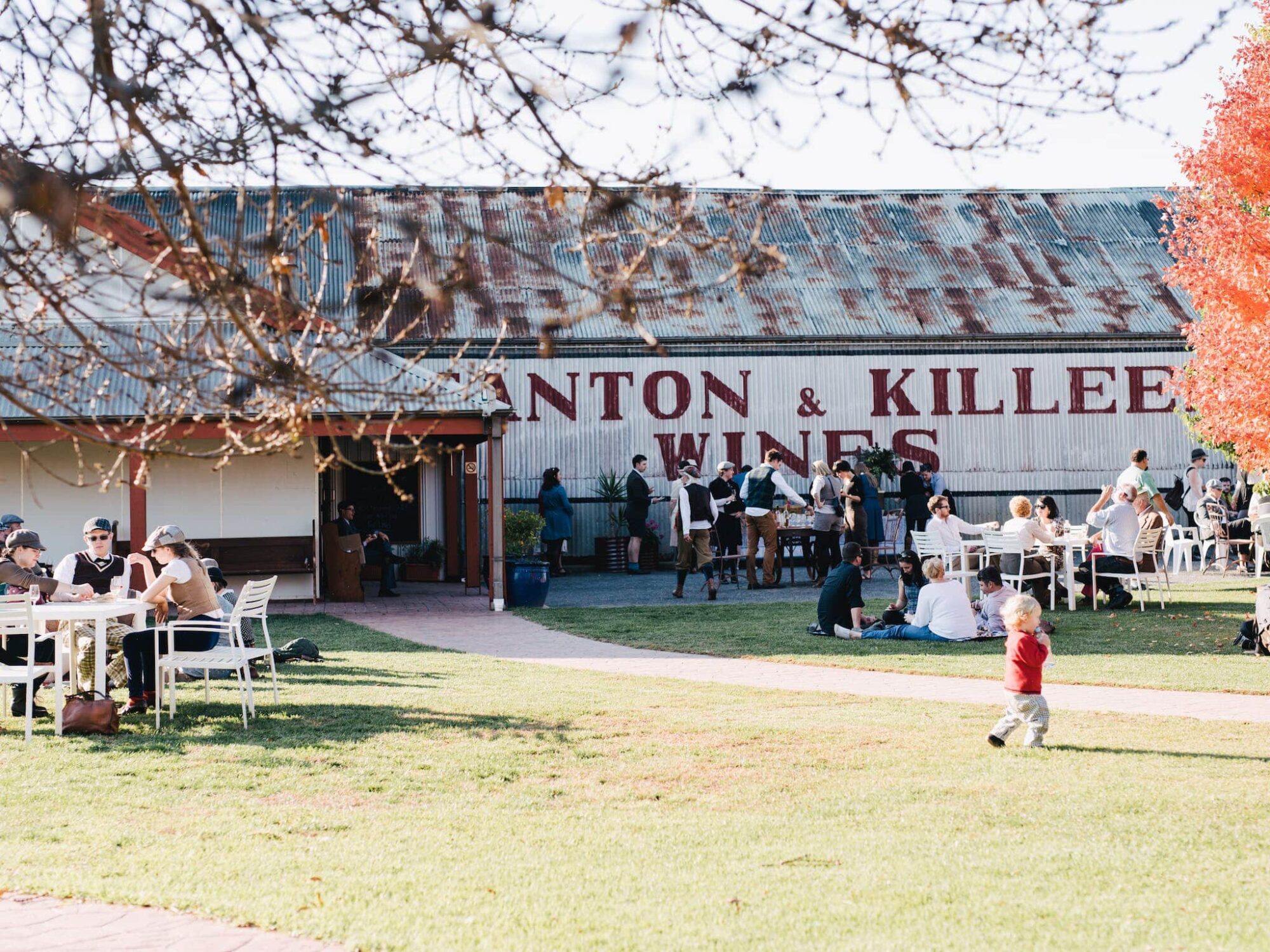
Stanton & Killeen
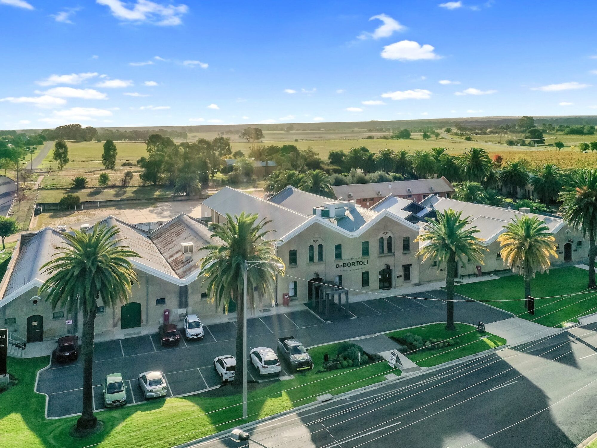
De Bortoli Rutherglen Estate
Can't Find It? Use Our Search
We Think You Might Like
Wahgunyah River Track Walk
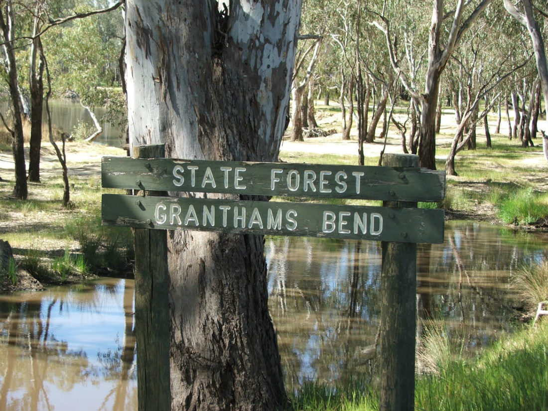
Grantham’s Bend
Rutherglen Gourmet Amble
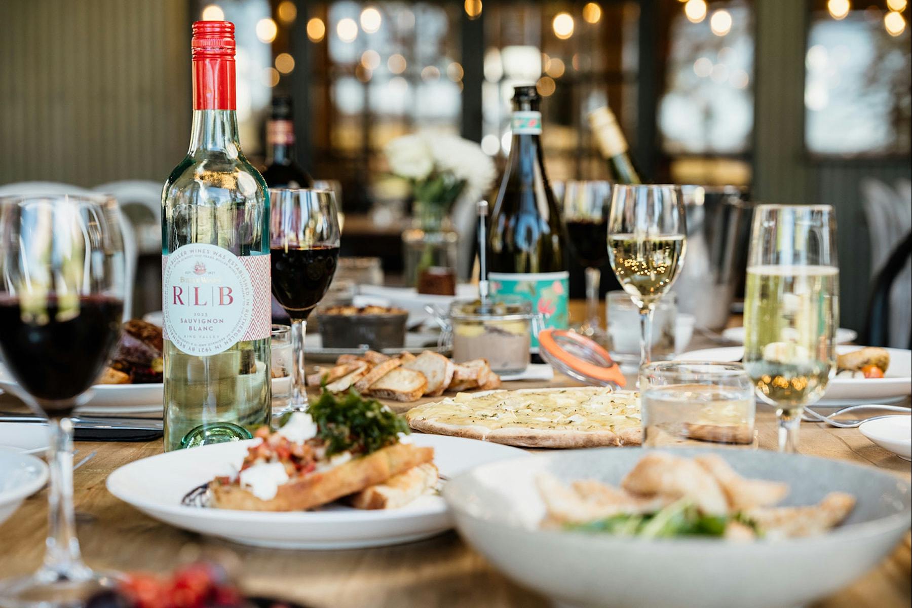
The Pavilion Restaurant at Buller Wines
Grove & Sculpture Walk at Gooramadda Olives
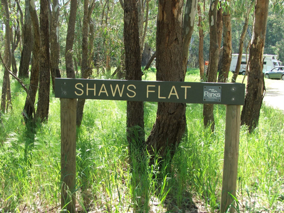
Shaw’s Flat
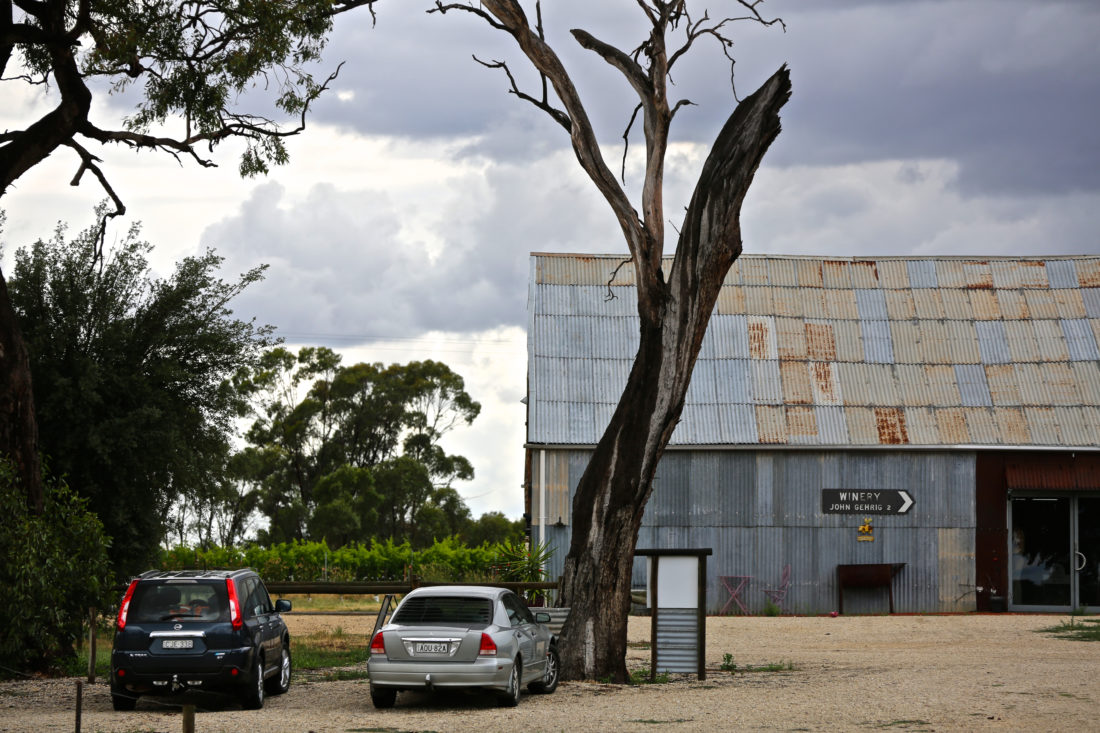
John Gehrig Wines
Portals Into Rutherglen
A Taste of England
Aboriginal Exhibitions Gallery at De Bortoli Rutherglen Estate
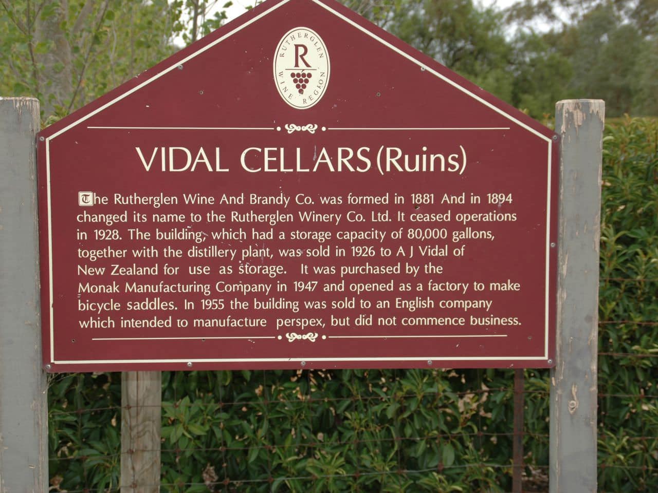
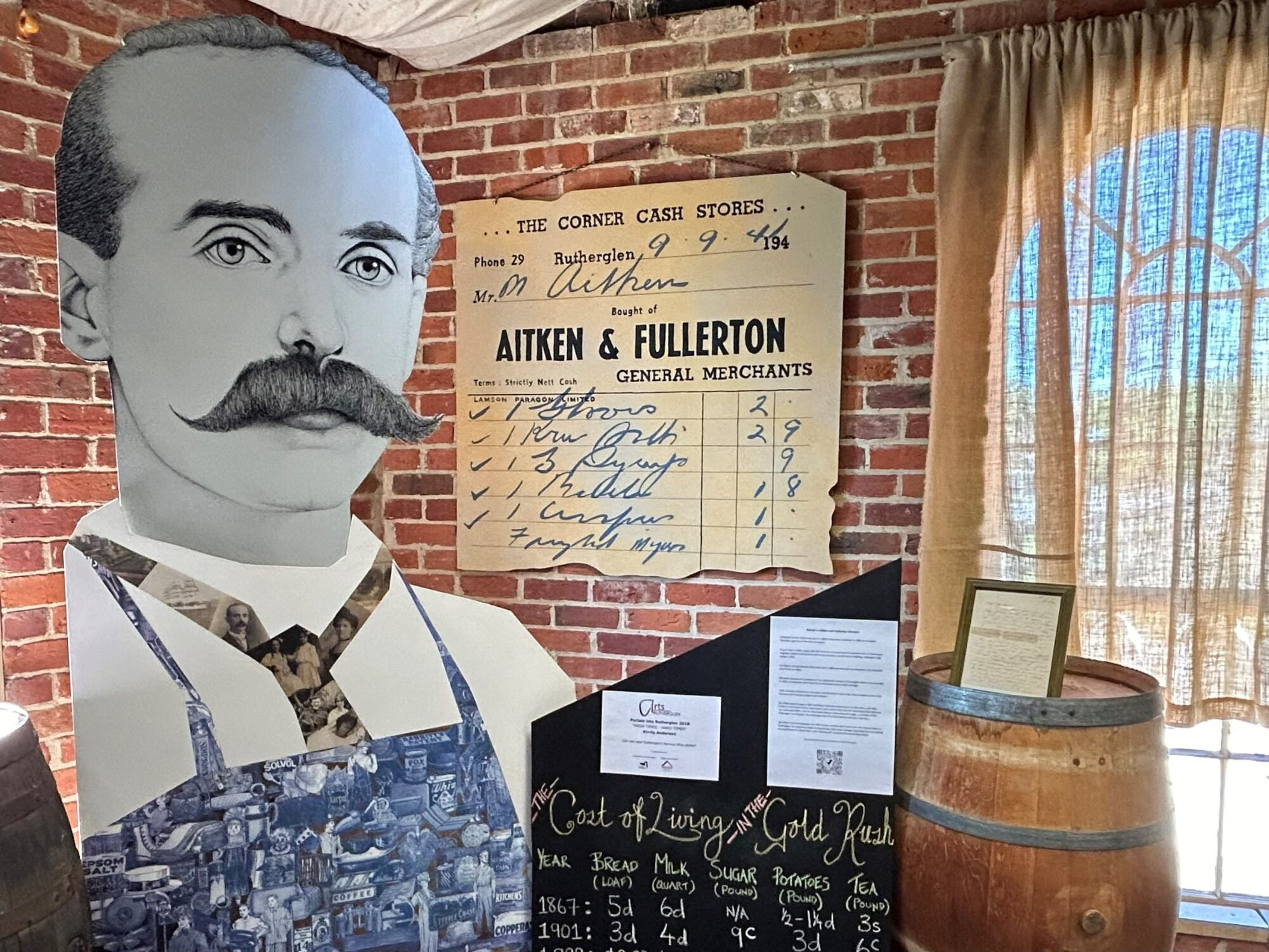
Vidal Cellars
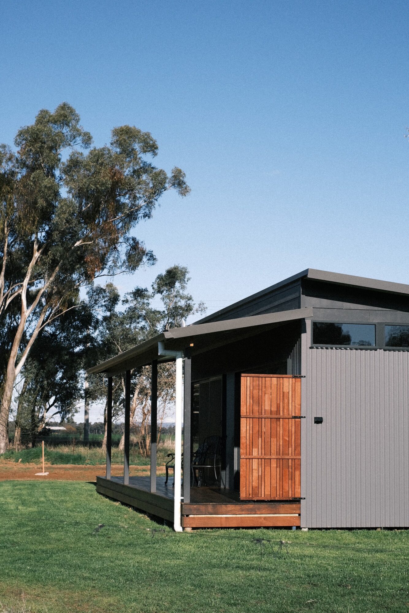
Buller Wines Vineyard View Cabins
Carlyle Bushland Reserve Walking Tracks
Mother’s Day Lunch
Murray to Mountains Rail Trail Walk – Rutherglen to Wahgunyah
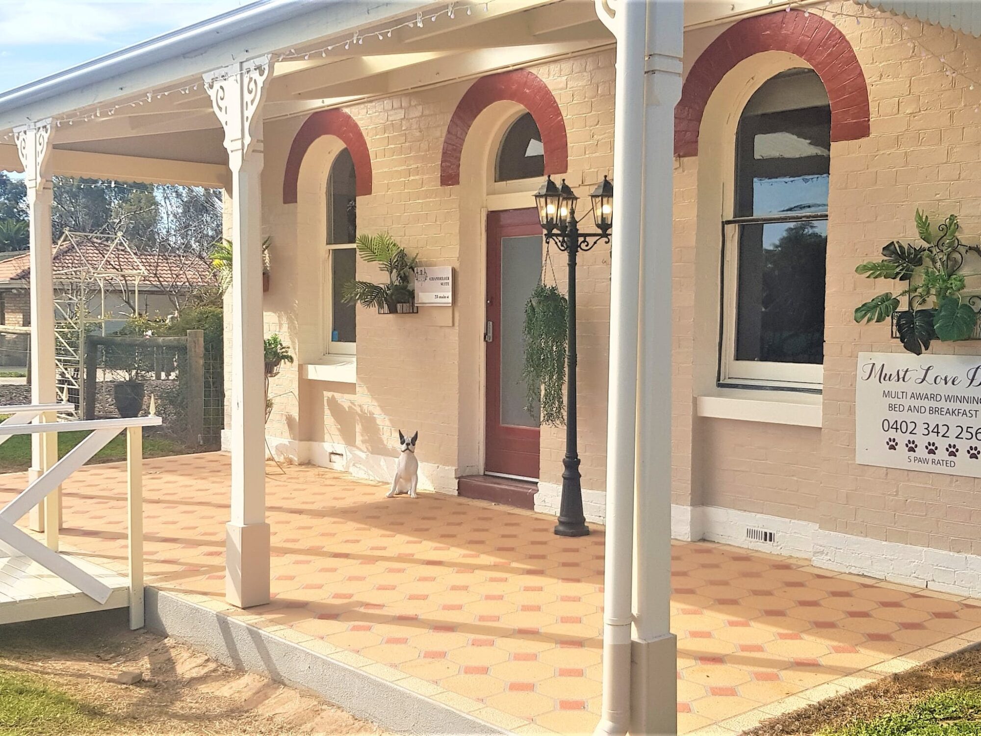
Must Love Dogs B&B
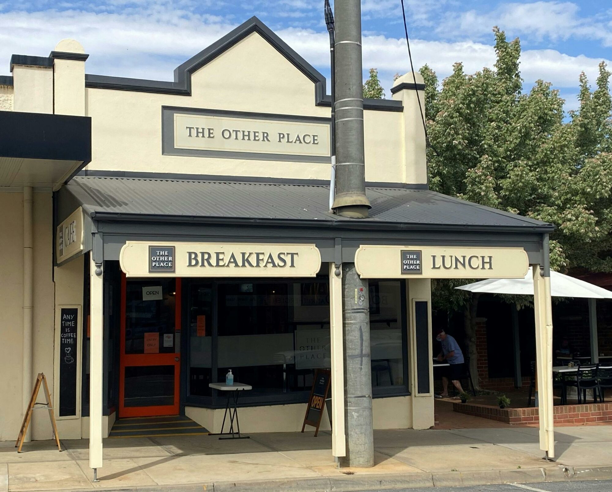
The Other Place at Rutherglen
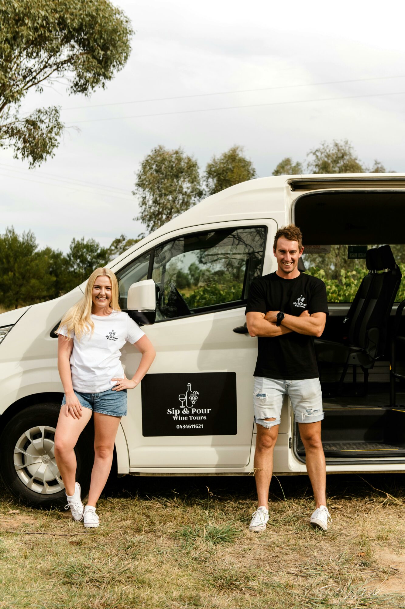
Sip and Pour Wine Tours
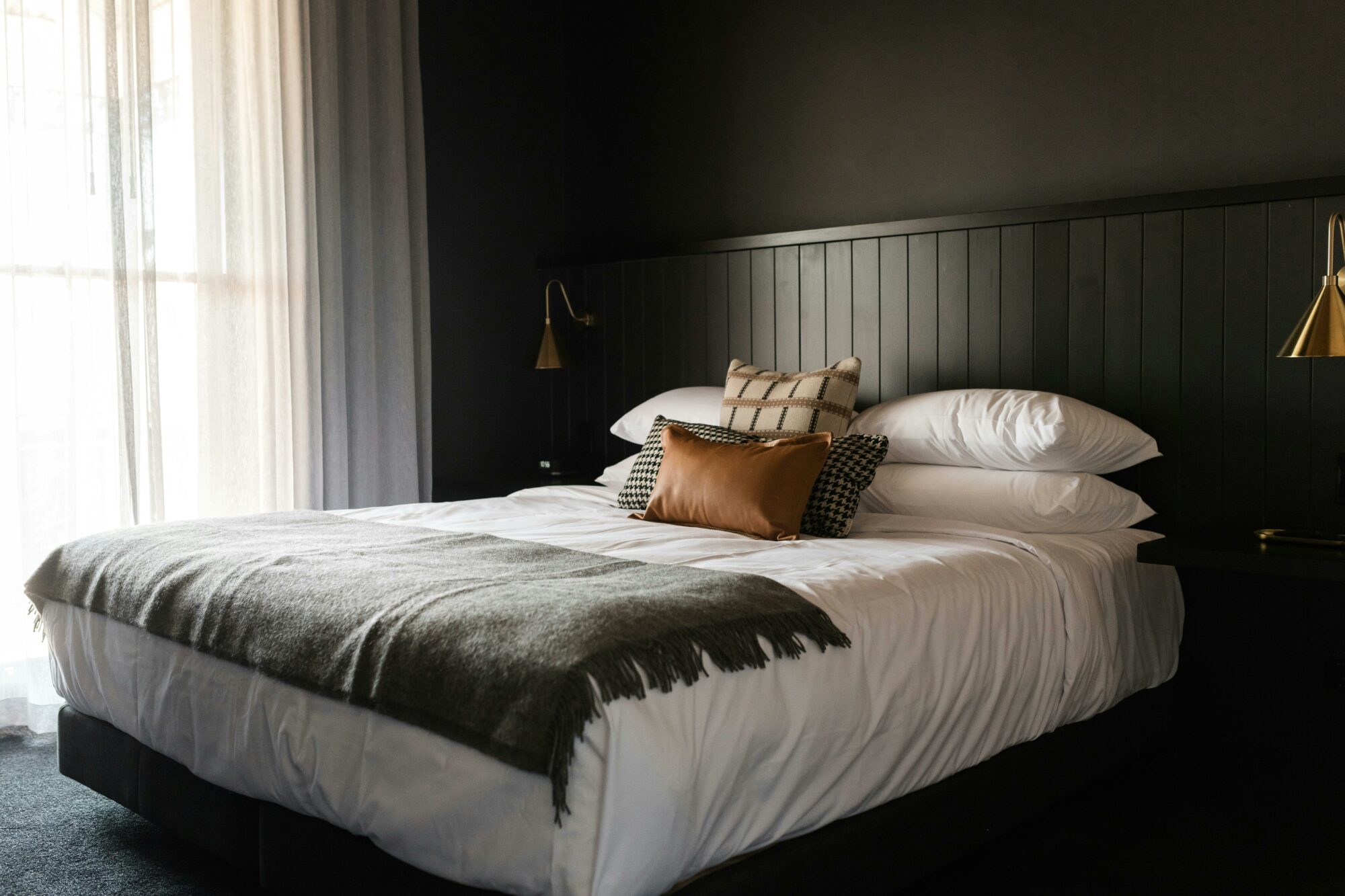
The Victoria Hotel Rutherglen